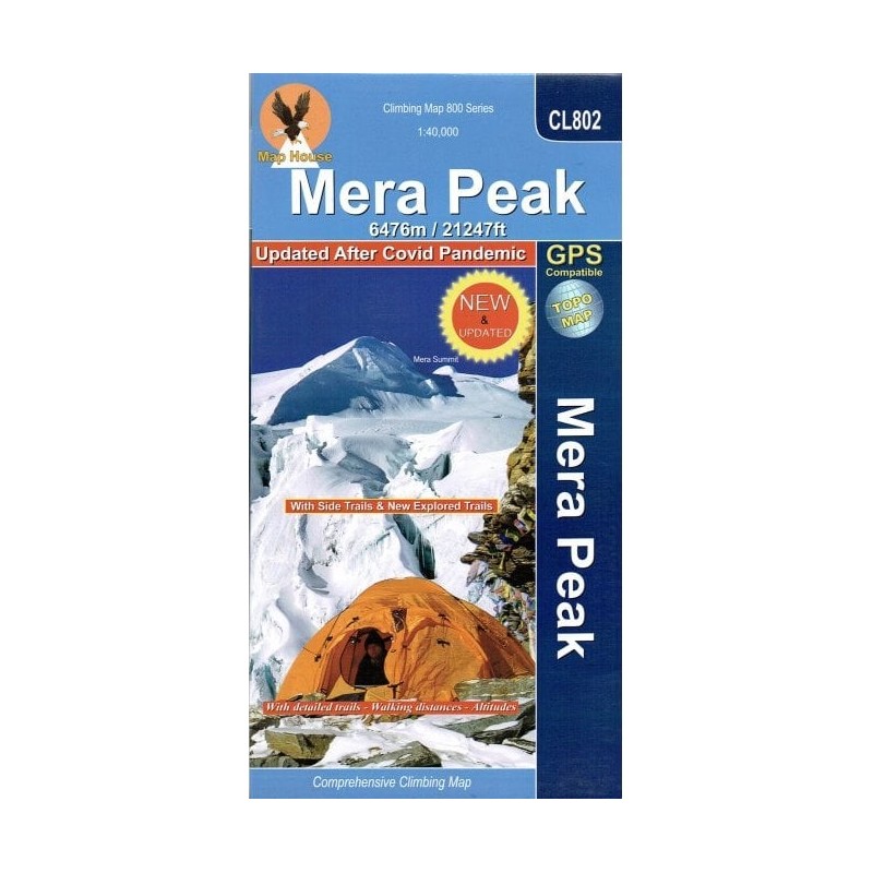
This map shows the trekking route to the Mera peaks at a 1:40,000 scale. The map shows a section of the main Everest trek between Taksindu and Lukla, plus northwards towards Namche Bazar, with a spur leading east to the Mera peaks in the Makalu Barun National Park. Also marked is the spur to Kusumkhang Base Camp and onto the peak, plus a trek westwards to the Kongde Base Camp. Sections requiring climbing are clearly marked. Additional information includes a route profile of the Mera Peak trek, plus tables showing the route and the Kongde trek in stages with altitudes in metres and feet and trekking times.
Route: Lukla, Chutanga, Zatrwa La, Thuli Kharka, Tashing Ongma, Mosom Kharka, Thangnak, Dig Khare, Khare Camp, Mera La, Base Camp, High Camp, Mera Central Summit, Mera North Summit, Lukla. Altitude Range: 2840m – 6476m. Longitude: 86° 41' – 86° 56'. Longitude: 86° 41' – 86° 56'.